

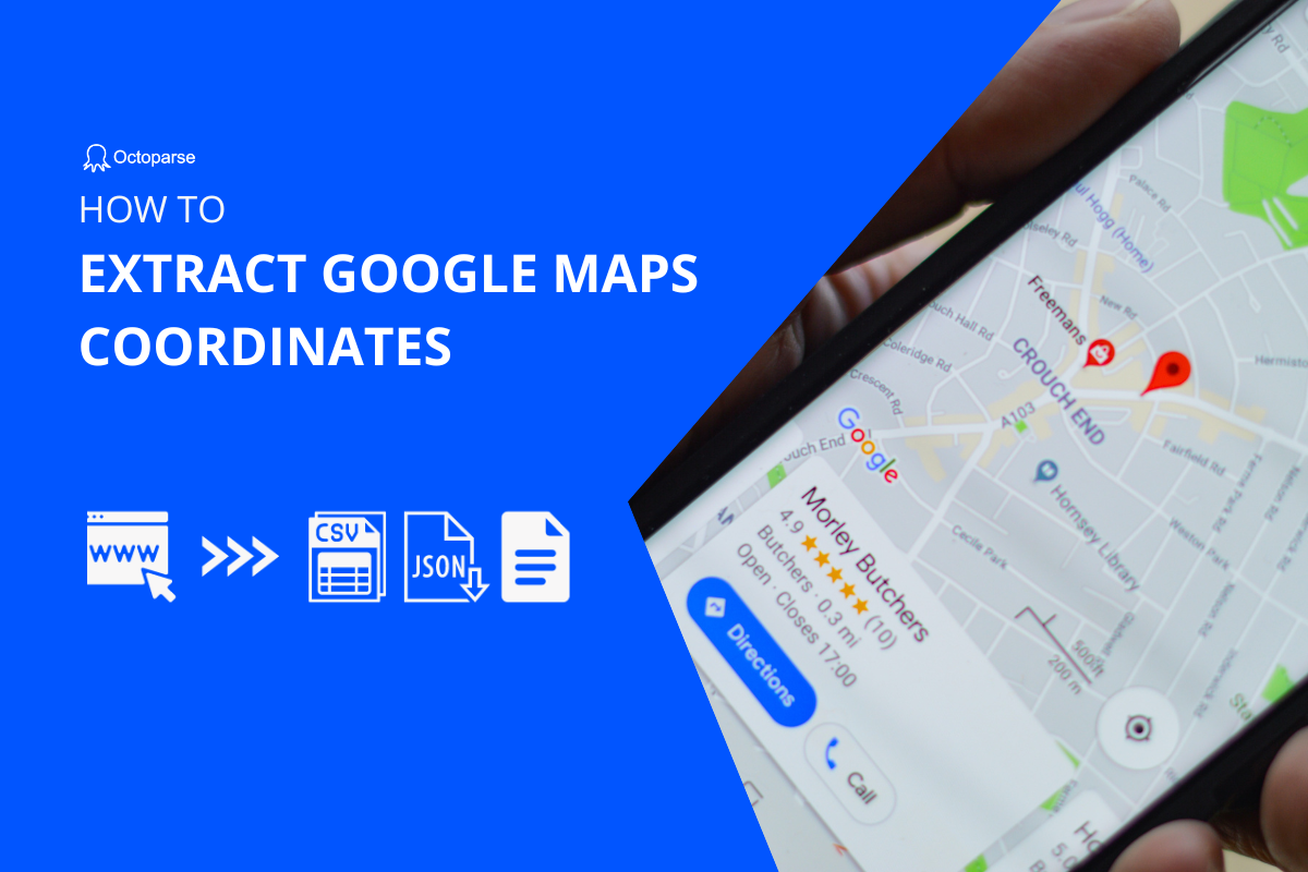
Understanding Geospatial Data Extraction: More Than Just Numbers
Imagine transforming a simple web link into a precise geographic pinpoint—that‘s the magic of coordinate extraction. As a seasoned web scraping expert, I‘ve spent years unraveling the intricate world of geospatial data collection, and today, I‘m pulling back the curtain on how professionals extract coordinates from Google Maps.
Coordinates aren‘t just abstract numerical representations; they‘re powerful data points that unlock incredible insights across industries. From urban planning to logistics, from environmental research to marketing intelligence, understanding how to precisely capture location data can revolutionize your approach to spatial analysis.
The Fundamental Science of Coordinates
Before diving into extraction techniques, let‘s understand what coordinates truly represent. Latitude and longitude form a global grid system that pinpoints any location on Earth with remarkable precision. Latitude measures north-south position, ranging from -90 to 90 degrees, while longitude tracks east-west positioning between -180 and 180 degrees.
A coordinate like (47.6062° N, 122.3321° W) doesn‘t just tell you where something is—it provides a universal language for location that transcends cultural and linguistic barriers. This standardization makes coordinate extraction not just a technical skill, but a critical competency in our increasingly data-driven world.
Manual Extraction: The Human-Guided Approach
While automated tools offer incredible efficiency, understanding manual extraction provides foundational insights into how coordinate systems work. Google Maps offers several straightforward methods for capturing location data directly through user interaction.
Desktop Browser Extraction Techniques
On a desktop browser, extracting coordinates becomes remarkably simple. Navigate to Google Maps, right-click your desired location, and observe the contextual menu. Modern web interfaces often display coordinate information directly, allowing immediate copying and recording.
Professional tip: Always verify coordinate accuracy by cross-referencing multiple extraction methods. Small variations can emerge depending on specific mapping technologies and underlying data sources.
Programmatic Extraction: Advanced Web Scraping Strategies
Python-Powered Coordinate Parsing
import re
import requests

def extract_google_maps_coordinates(maps_url):
    """
    Robust coordinate extraction from Google Maps URLs

    Args:
        maps_url (str): Complete Google Maps URL

    Returns:
        tuple: Latitude and longitude coordinates
    """
    coordinate_pattern = r‘@([-\d.]+),([-\d.]+)‘
    match = re.search(coordinate_pattern, maps_url)

    if match:
        latitude = float(match.group(1))
        longitude = float(match.group(2))
        return (latitude, longitude)

    return None
This function demonstrates a professional-grade approach to coordinate extraction, incorporating error handling and type conversion. The regular expression intelligently parses URLs, isolating precise geographic data.
Selenium WebDriver: Dynamic Page Interaction
For more complex scenarios requiring dynamic page interaction, Selenium WebDriver provides robust solutions:
from selenium import webdriver
from selenium.webdriver.common.by import By

class GoogleMapsCoordinateExtractor:
    def __init__(self, webdriver_path):
        self.driver = webdriver.Chrome(webdriver_path)

    def extract_coordinates(self, location_url):
        """
        Extract coordinates through browser automation

        Args:
            location_url (str): Target Google Maps URL

        Returns:
            dict: Comprehensive location metadata
        """
        self.driver.get(location_url)

        # Advanced coordinate extraction logic
        coordinate_element = self.driver.find_element(
            By.CLASS_NAME, ‘coordinate-display‘
        )

        return {
            ‘latitude‘: float(coordinate_element.text.split(‘,‘)[0]),
            ‘longitude‘: float(coordinate_element.text.split(‘,‘)[1])
        }
Ethical Considerations in Coordinate Extraction
As powerful as these techniques are, responsible data collection demands strict adherence to ethical guidelines. Always:
- Respect platform terms of service
- Obtain necessary permissions
- Anonymize collected data
- Implement robust security protocols
- Maintain transparency in data usage
Advanced Applications: Beyond Basic Extraction
Coordinate extraction isn‘t merely a technical exercise—it‘s a gateway to transformative insights. Industries like urban planning, logistics, environmental monitoring, and marketing leverage geospatial data to make unprecedented strategic decisions.
Real-World Scenario: Urban Development Planning
Consider how city planners use coordinate data to optimize infrastructure. By mapping precise geographic locations of critical urban elements—hospitals, schools, transportation hubs—they can model complex spatial relationships and make data-driven development decisions.
Future Trends in Geospatial Technology
Emerging technologies like machine learning and edge computing are rapidly transforming coordinate extraction. Artificial intelligence models can now predict and validate geographic data with unprecedented accuracy, opening new frontiers in spatial intelligence.
Conclusion: Your Coordinate Extraction Journey
Mastering Google Maps coordinate extraction requires continuous learning, technical curiosity, and ethical commitment. Whether you‘re a data scientist, developer, or business strategist, these skills represent a powerful toolkit for understanding our interconnected world.
Remember: Every coordinate tells a story. Your job is to listen carefully and extract the insights hidden within.


